Magical Lud’s Church
A walk through ancient woodlands, winding riverside paths and moss-draped gorges, this route leads you deep into the heart of the Dane Valley and to the hidden chasm of Lud’s Church - a shadowy, fern-filled cleft steeped in myth, legend and green-tinged mystery.
Scroll for images and a map preview.
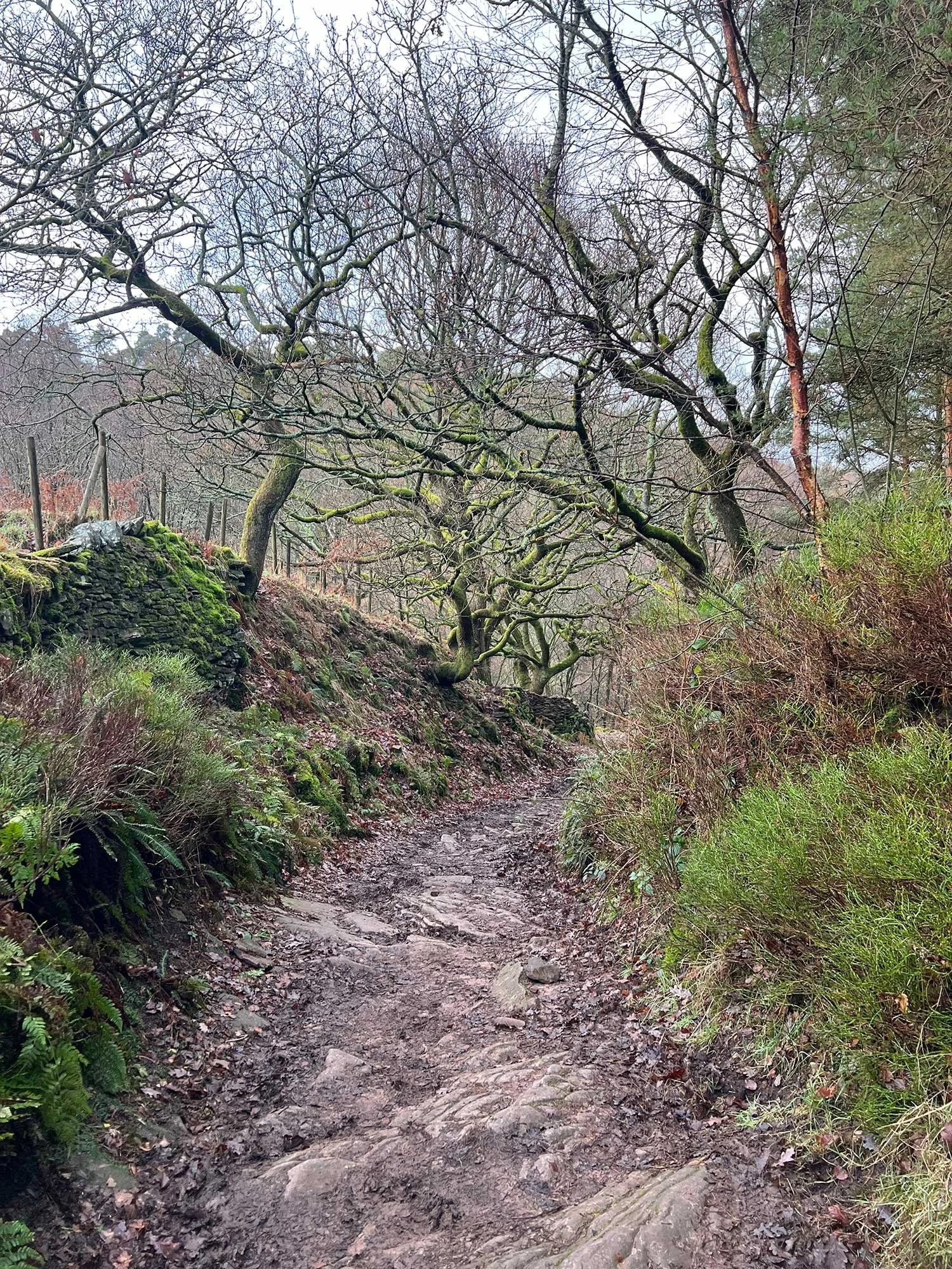
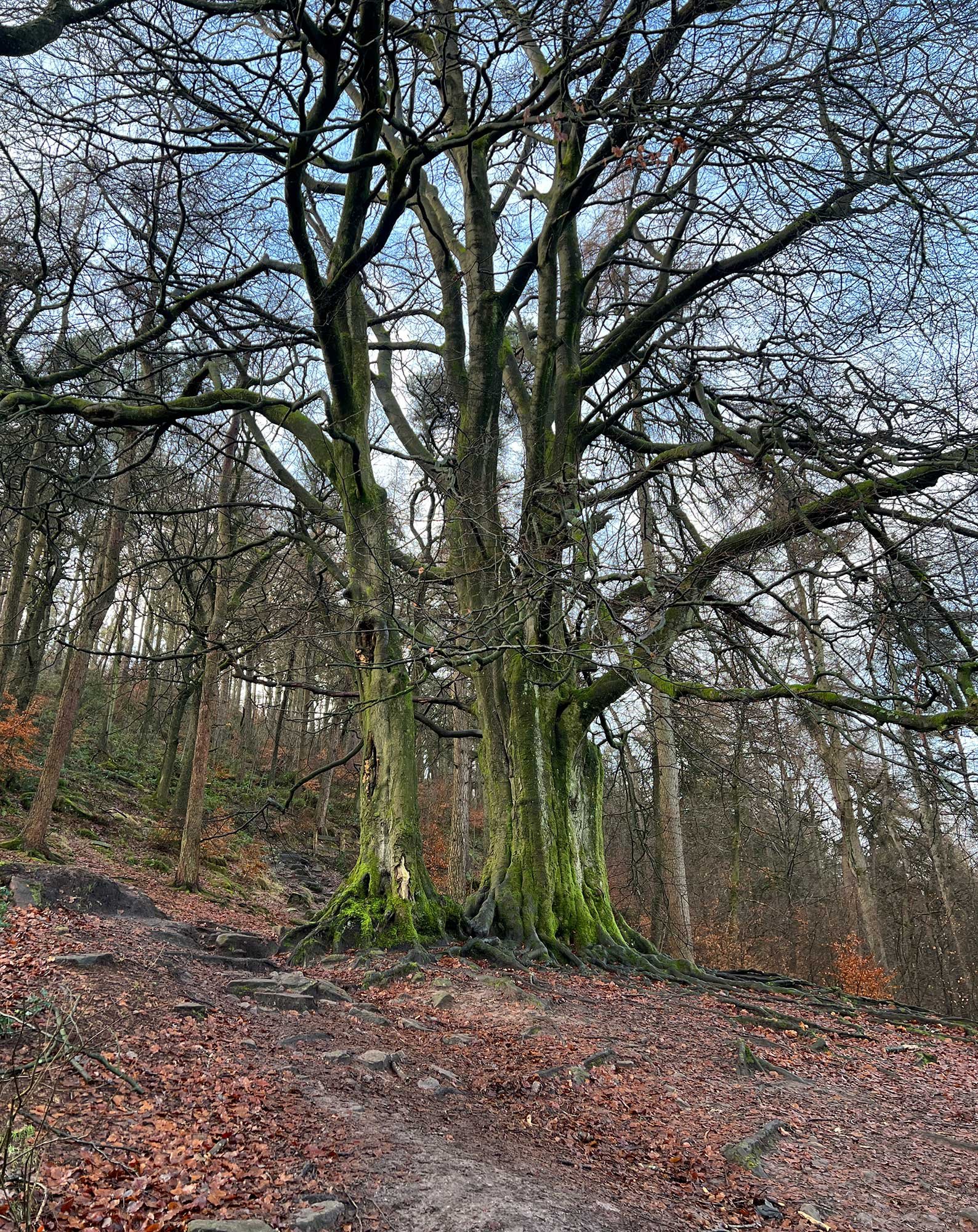
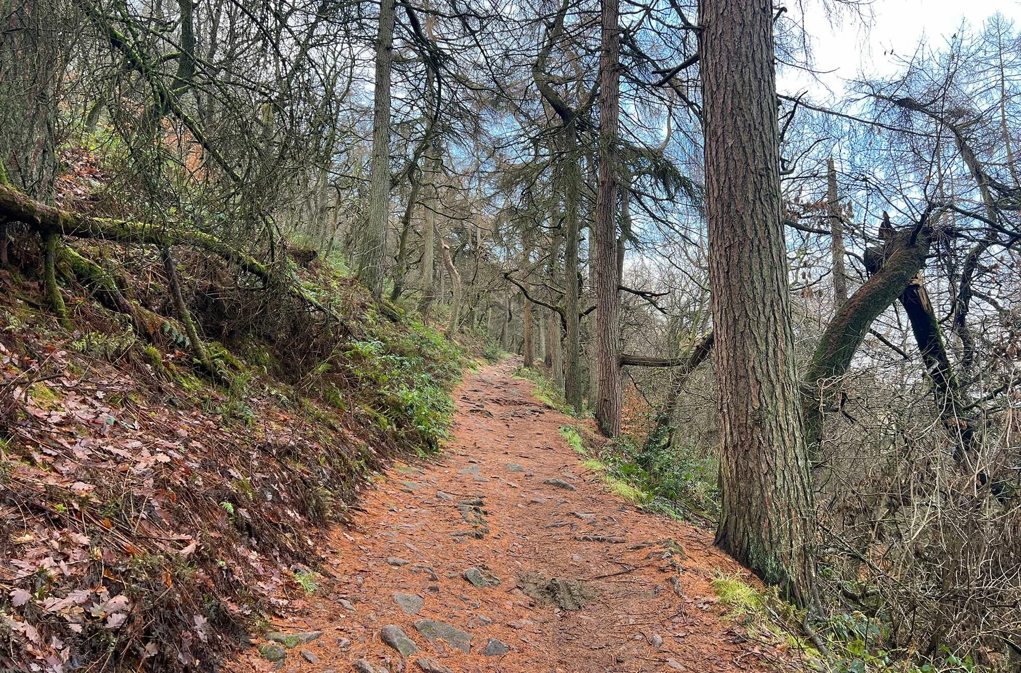
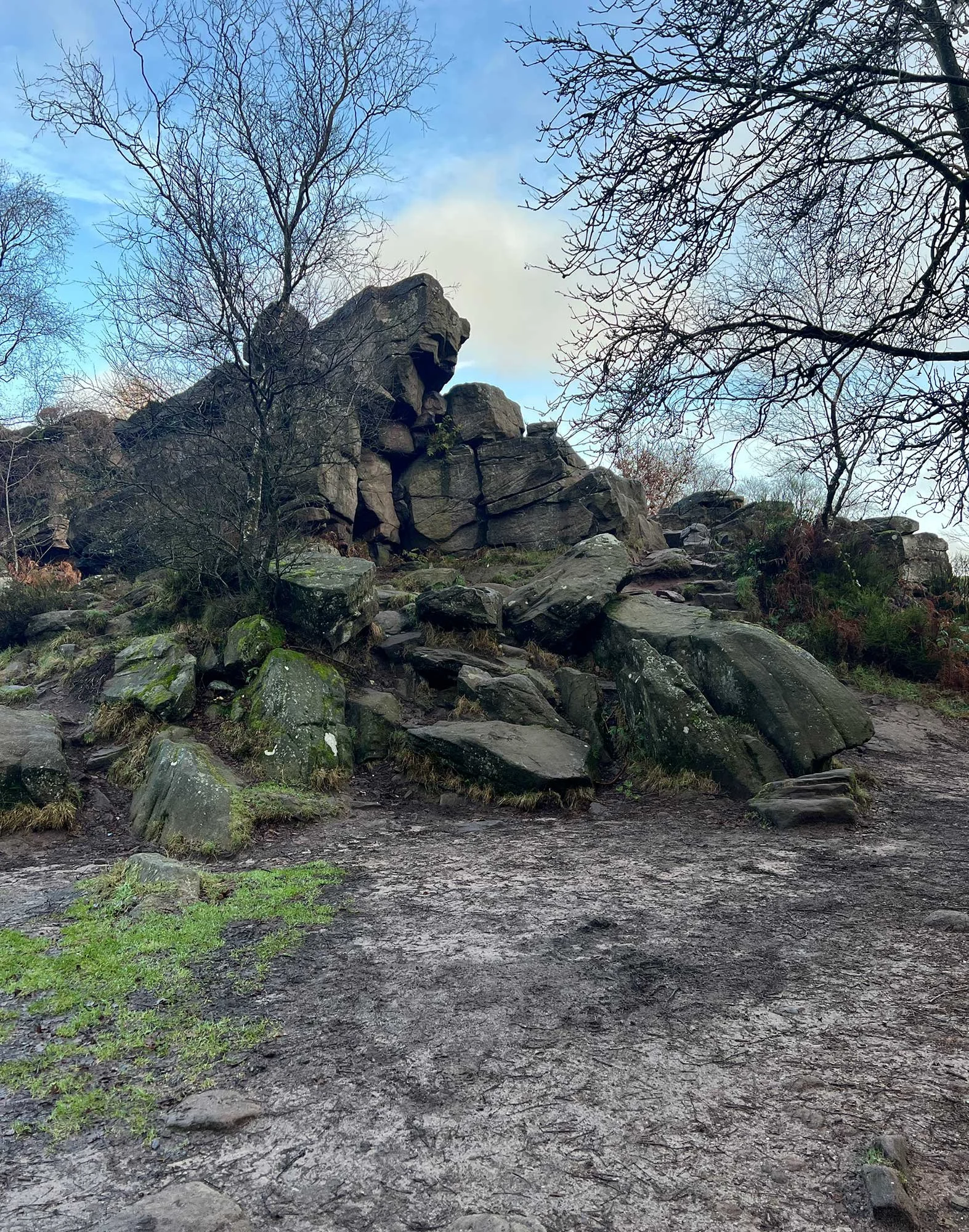
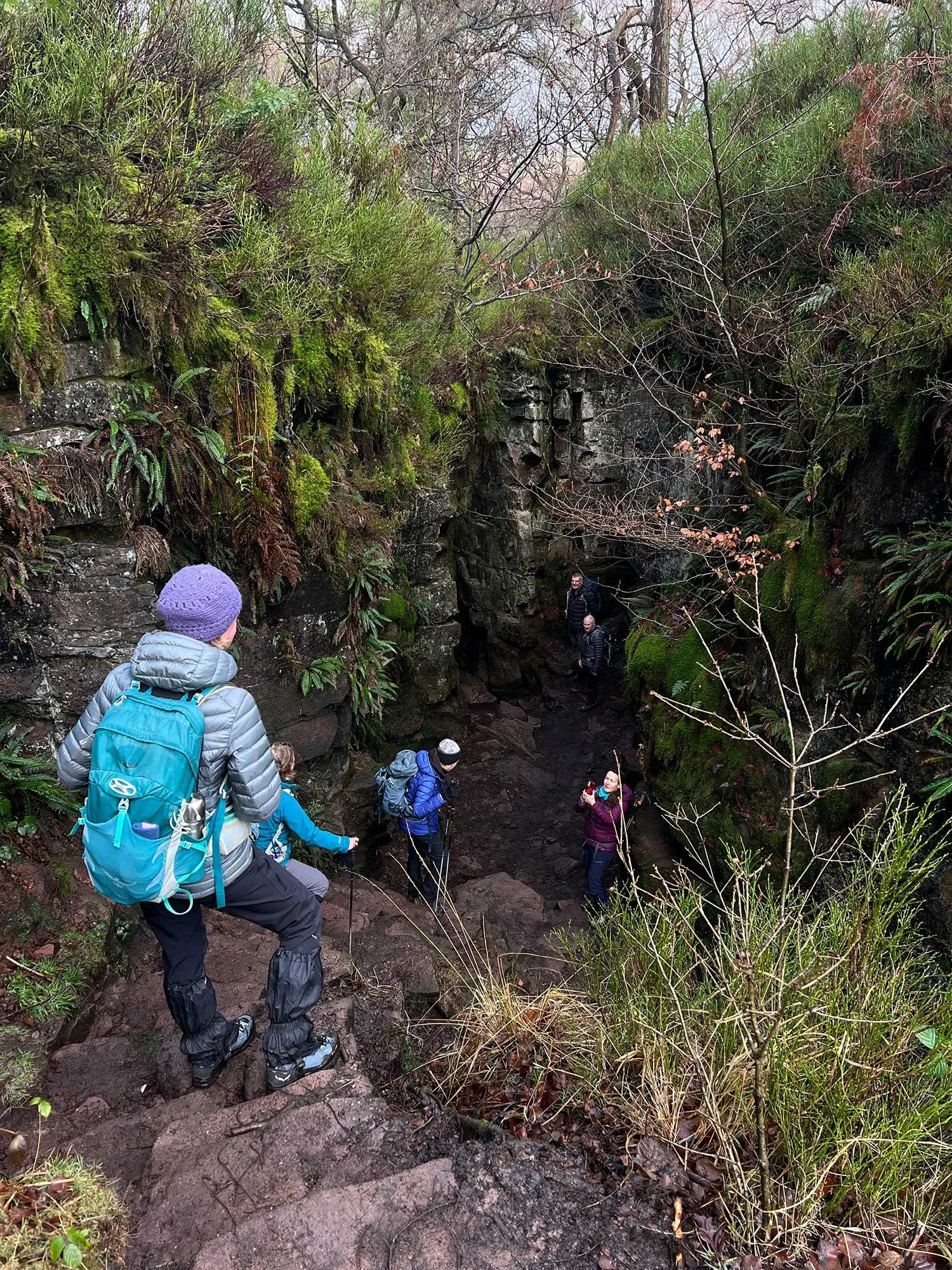
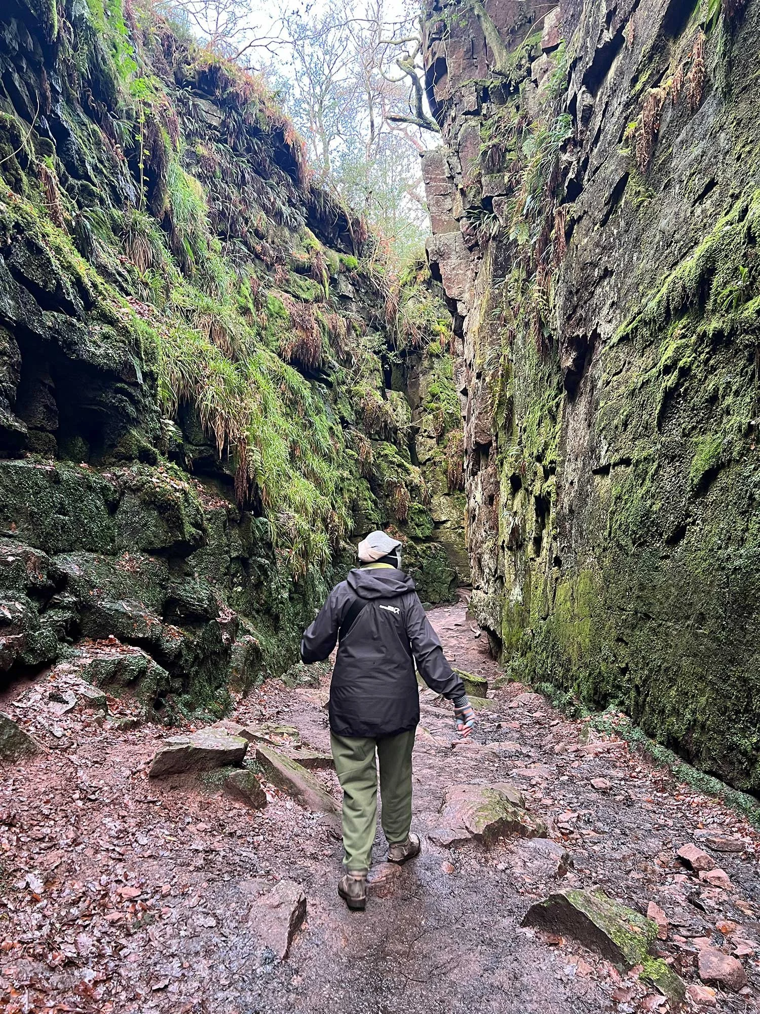
Tucked deep within the Dane Valley, Lud’s Church is one of the Peak District’s most atmospheric and storied landmarks. This moss-covered chasm - over 100 metres long and up to 18 metres deep - was formed by a landslip along a fault line in the gritstone and has been drawing visitors for centuries. Despite its name, it’s not a church at all, but the nickname given to this natural cleft by local communities. In the 15th century, it was said to be a secret meeting place for the Lollards - followers of the religious reformer John Wycliffe - who held outlawed services here, hidden from the authorities. Over time, the legends deepened: Lud’s Church has been linked to the Green Chapel from the medieval poem Sir Gawain and the Green Knight, and it’s easy to see why - the place feels almost otherworldly, especially in low light or mist. Today, hikers and history lovers alike are drawn to its eerie beauty, rich folklore, and the quiet sense of awe it inspires among the dripping ferns and towering stone walls. It’s a walk that feels like stepping into a forgotten, enchanted world and comes highly recommended for walkers or most abilities.

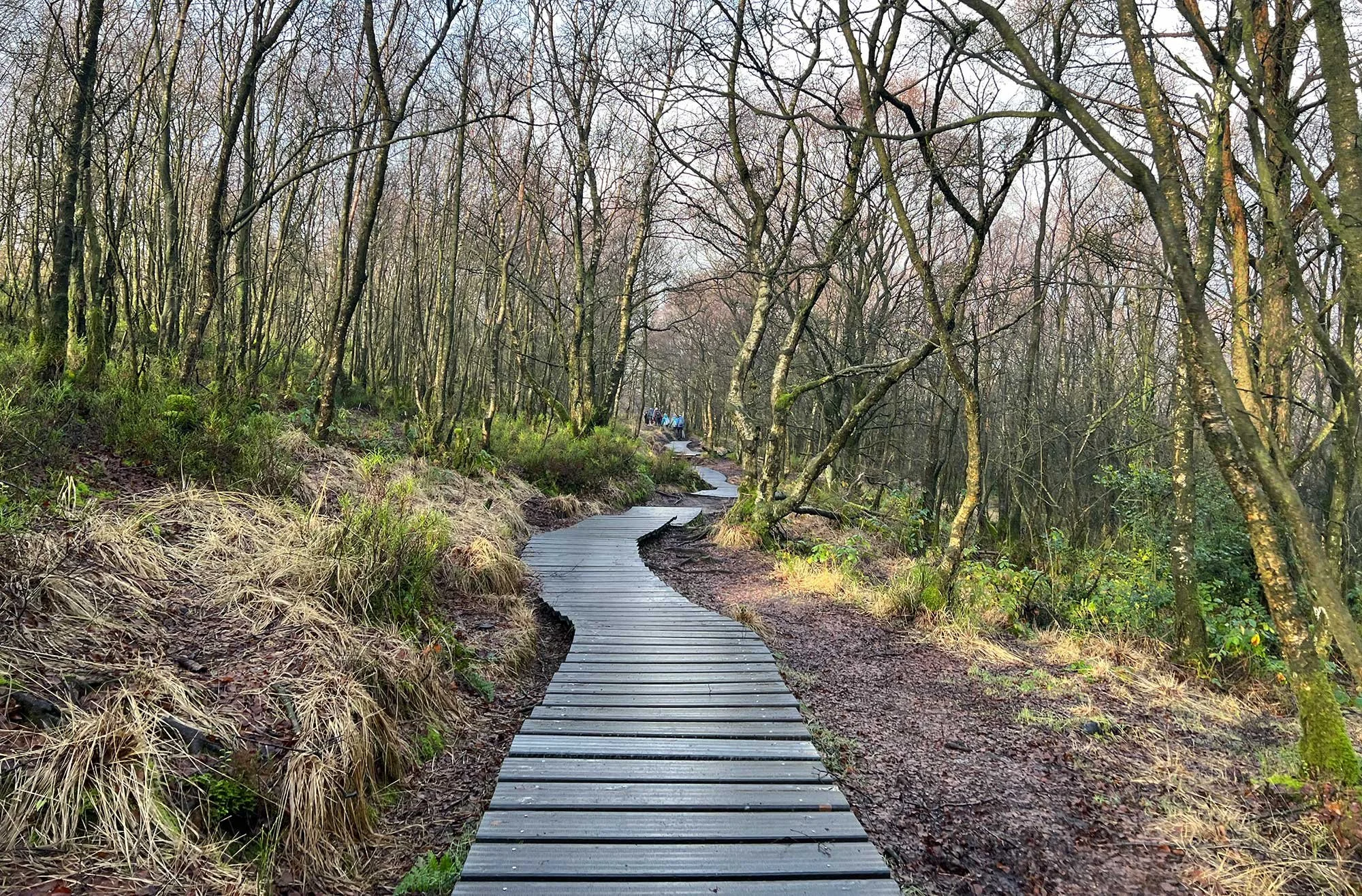
You approach the entrance to the top of the Lud’s Church chasm via this well maintained board walk.
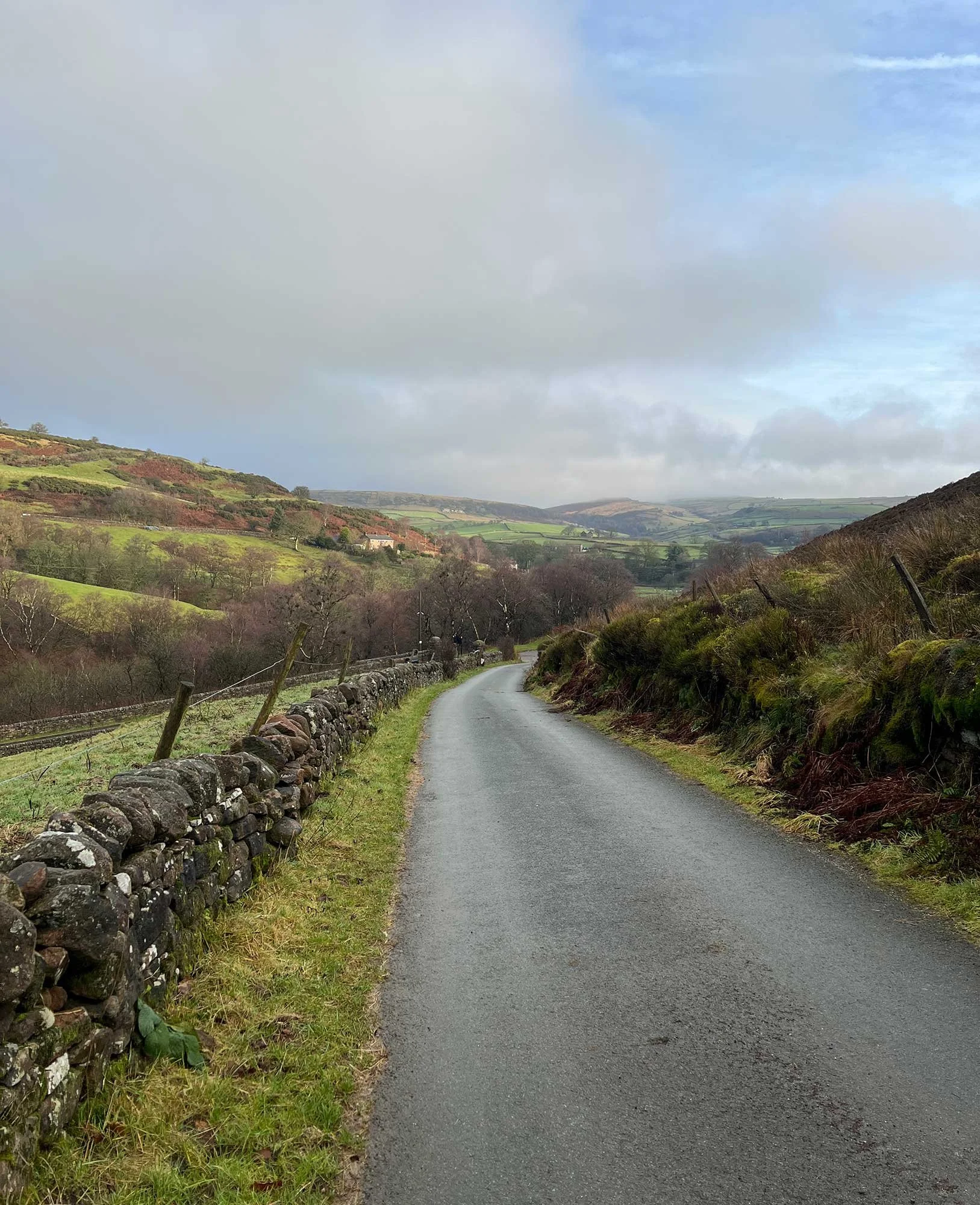
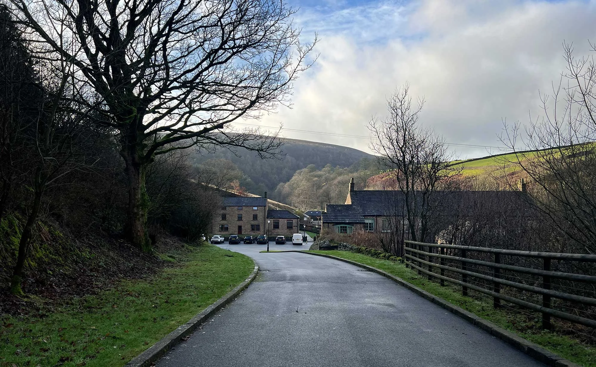
We recommend starting and finishing at Gradbach Car Park (Google Maps location). There is no nearby Public Transport and this free car park is small so bear in mind that if you arrive late you may be forced to park a little further up the road at the paid car park (£5 at last visit). If you miss the entrance to Gradbach Mill - which offers the easiest pathway up to Lud’s Church - you’ll find yourself at a stream that would be tricky to cross unless you are wearing wellies… cut right along the river if you find yourself stuck and you’ll be back on the right track.
You can join or leave the route wherever it suits you. The Online Route Guide link above will open OS Maps in a web browser using a standard map view. For a detailed topographical map, you’ll need the OS Maps app, which you can download separately. GPX files are also provided for those using compatible navigation software. All routes are shared with the best intentions and are designed to support your planning, but they should always be used alongside your own judgement and preparation.
This walk combines rocky paths, some climbing (although you can avoid the climb down into Lud’s Church altogether or access via the lower entrance which is a little easier) boggy woodland paths and some exposed high ground, where weather can change quickly and navigation becomes more demanding. It’s vital that you do your own research, carry a paper map, and make decisions that are right for you and your group. Mobile signal can be unreliable at best, so avoid relying solely on your phone for navigation.
If you or anyone you encounter needs urgent assistance, call 999, ask for the POLICE, then request MOUNTAIN RESCUE once connected. Stay in the same location until help contacts you again.
Please follow waymarkers and signage carefully, take all litter home with you and respect the working farms, fragile moorland, wildlife and the communities that sit at the edge of this landscape.
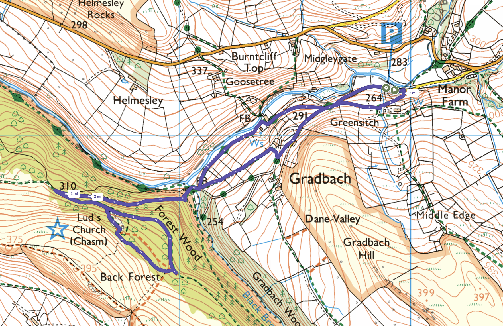
This magical hike starts at Gradbach Car Park and is around 90 minutes in total. There’s plenty to explore though so we recommend allowing 3 hours.